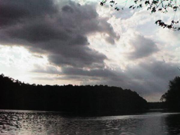
Today's Weather on the Potomac
Washington, DC Weather Report. -- National Weather Service
Today's Weather on the Potomac
Washington, DC Weather Report -- Intellicast
DC Metro Area Radar Image
Image updated every 15 minutes -- Intellicast
Regional Radar Image
Image updated every 15 minutes -- Intellicast
Today's Weather on the Potomac
Washington, DC Weather Report (includes radar image) -- The Weather Channel
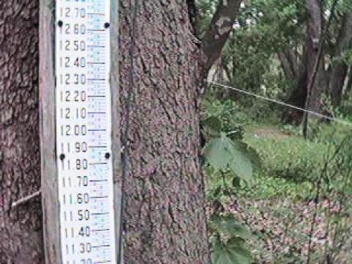
River Level at Little Falls
A nifty weekly river level graph -- U.S. Geological Survey
River Levels for Potomac, Shenandoah, Monongahela, Susquehanna and Delaware Rivers
Mid-Atlantic River Levels site with lots of nifty weekly river level graphs
-- U.S. Geological Survey
Current River Gauge Map for the Potomac River Basin
All Potomac River Basin levels at a glance -- National Weather Service
River Forecast for the Potomac River Basin
Advanced Hydrologic Prediction Service -- NOAA
River forecasts and conditions nationwide from American Whitewater
Select state and river gauge for current conditions and latest river level forecasts.
Too Much Weather
The National Weather Service's Home Page
Forecasting Flood Levels -- If a period of rain has been heavy throughout the Potomac River watershed, the river height at the Paw Paw gauge can be an early indicator of high water at Sycamore Island. Past observation suggests the water level at Little Falls will be half that of the Paw Paw gauge about 36 hours after the crest stage at Paw Paw.
WEATHER AND RIVER CONDITIONS